Can't say enough how much we owe our skins to Caleb and Chris, who dialed us in before we left and literally pulled us out when we were done.
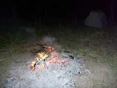
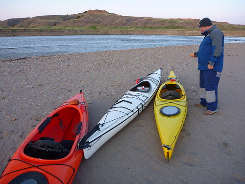
We had a nice night of camping the second night - this time along the Cheyenne River.
Caleb was right: We never suffered for a need of fuel for our fire. We could find all sorts of logs, some jammed into other trees from the recent flooding.
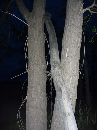
We awoke on Sunday - Jim led the way on getting up and at them - to another glorious morning in West River, no wind, mild temps, and another boat-load and go ... we were going to make our noon hook-up time at the SD Highway 34 Bridge.
We were making good time, but it wasn't long before we realized we would be late. Had we put in an extra hour before camping each night, perhaps we'd have been closer. Could have been the wine at night ... or the need to sleep in a bit, after all, we were on vacation.
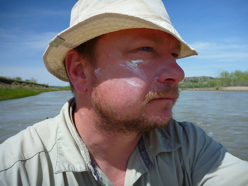
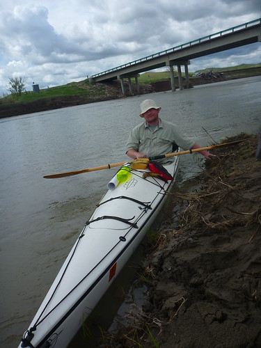
We called a halt even though we were running behind and luckily we got a signal on a phone, texted Caleb, and had him meet us at the Four Corners Bridge instead of the one at 34. We were all pretty clueless as to how easy/hard it'd be to take out there.
It was not the former.
We originally went to the left side (west) of the bridge, but Caleb hollered down to come to the other side at the last minute. Brian and Jim made it but I was caught up in some shallows and had to hand-fight my way back into the channel. From start to finish - challenges.
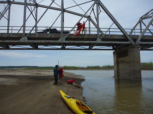
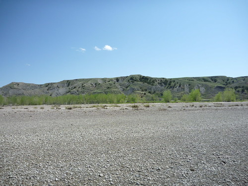
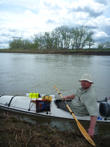
Since it was almost a quarter mile from the water to the ends of the bridge (showing just how high the Cheyenne can get) we opted for a tow strap extraction.
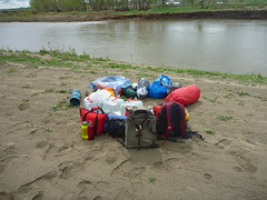
It worked slick with the dry bags and packs ... but then up the boats had to go.
Chris and Caleb showed those SCUBA diver muscles and after the first two boats went up, it was time for my slightly-longer, heavier fiberglass job. No photos - it was hard to watch. I am sure it would have survived a fall, but alas, not fun to imagine as we watched them fight it up over the edge.
Then we were off - back to Pierre - then back to Elkton. It was a long trip - a great one though. Something to remember. We'd lost some gear, faced some challenges on the water and in the wild, but we made it home with stories, photos, and video.
Plastic boats are the way to go on gravel-bottomed trips like this. My glass boat sustained a few scars but she's fine; we needed her for her freighter-like qualities. Plus fiberglass can be buffed out and touched up ... no big whoop.
The twin MVPs of the trip are Jim and Brian. No doubt. Their combined stick-to-itiveness, good humor, patience - and of course plenty of hours of hard paddling, gear hauling, and wood gathering - really, it would have been impossible to make the trip without 'em.
I'm sure all three of us will continue to visit the USGS and consider the flow rates on this route. It's an amazing trip - seems like you go to Mars - but it's not even out of the state! We owned it, learned to respect it, and probably will never forget it.
Thanks, guys - and thanks to you kind reader of this blog. If you are ever considering this same route, feel free to contact me and I'll do everything I can to help.
Wednesday, May 27, 2009
Monday, May 25, 2009
No hawks ...
P1000459
Originally uploaded by Iron Bieso
More on the Belle Fourche conclusion soon!
Jarett
Saturday, May 23, 2009
About that coyote
Day Two on the Belle Fourche and Cheyenne Rivers
After a nice big fire and a good night's sleep (it was 34 that first night) we awoke to calm conditions and plenty of miles left to make for the second day.
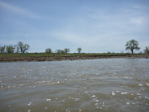
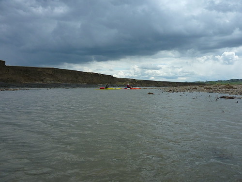
The river was a mix of rapids, shallow spots, and plenty of cut banks like this one. We were often hunting the channel but found we had to get out of our boats less often on day two.
We had great maps and no wind that second day, but the idea of making 90 miles total made me want to push, push, push. I had to balance mission accomplishment and troop welfare often.
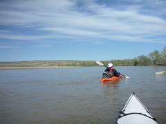
There were many places to take breaks, and Brian had prepared some homemade GORP and jerky for us, so we snacked with regular frequency in our boats.
We brought 10 gallons of water along and it was about right for three days.
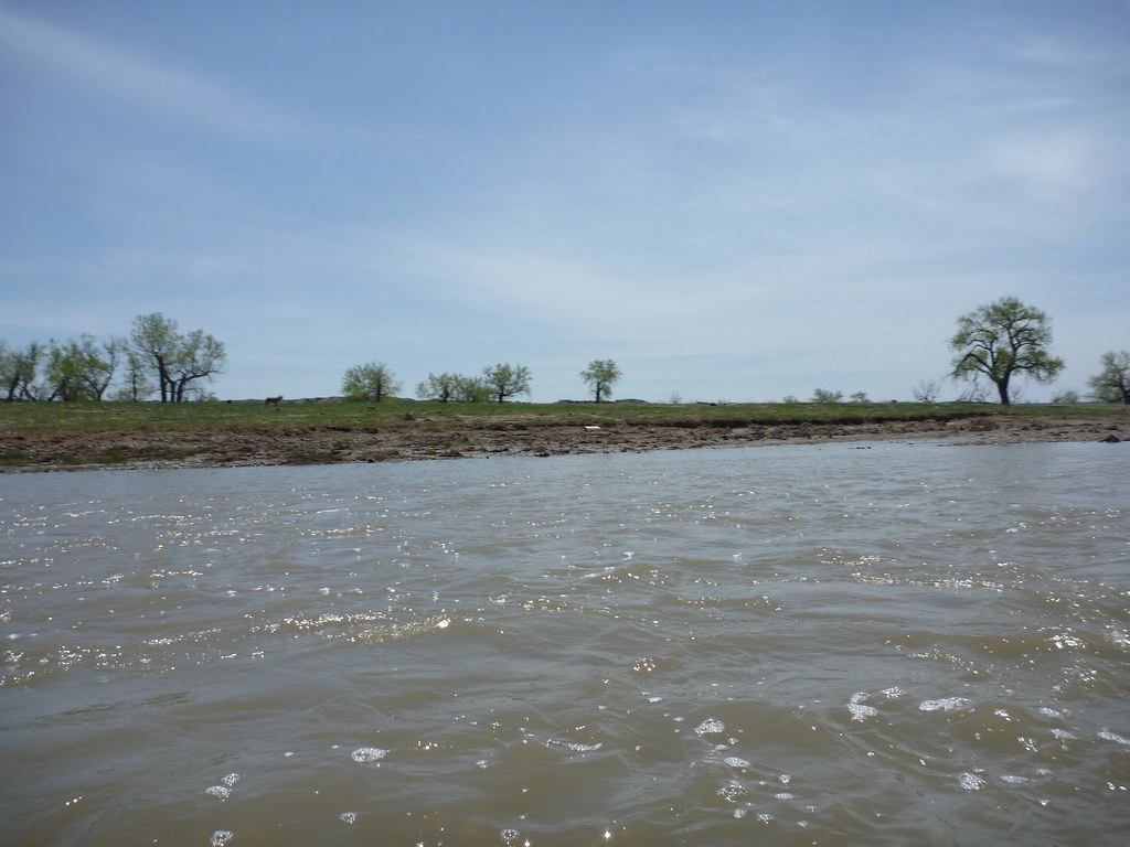
We heard coyotes the night before and I saw one briefly on the second day. I saw this one (hard to see him, but he's in this picutre) during our second morning.
Overall, though, we did not see much wildlife, some but not a whole lot. Those beaver that dove out of the bank walls would startle you though.
Around 5 p.m. or so we began scouting for camp. We found a nice spot, its only drawback was a ledge we had to scale to load gear. After 7 or 8 hours paddling, hauling gear was never much fun.
We kept expecting this big, dramatic confluence where we would end our Belle Fourche trip and begin our exploring on the Cheyenne, but it was anti-climatic. There was a trickling muddy spot that we later realized must be the confluence. But on we pushed.
We had lots of miles to go but we were whooped. I knew the next day we'd have to get up early and really push it to make our noon extraction time at the SD Highway 34 bridge.
Thursday, May 21, 2009
West River rivers really got something
P1000267
Originally uploaded by Iron Bieso
That's Brian and Jim talking, and along with me, we did a three-day trip on the Belle Fourche and Cheyenne Rivers over the May 16 weekend.
Caleb Gilkerson and his first mate, Chris, served as our insert/extract team, plus pre-mission launch intel, and I send 85 percent of our success to all their hard work.
Within the first hour of our actual launch, we experienced:
Lost gear: Four PFDS, four paddle floats, gone.
A dead calf on the bank, stinking and shriveled.
Another one, stinking again, not five minutes later. They both appeared to have drowned in the recent high water.
All this in 59 degree temps with high winds.
With 90 miles to go.
The gravel loved my new trailer plate.
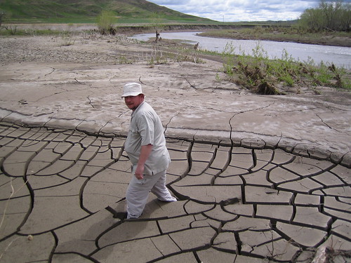
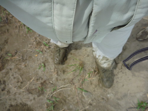
Oh, and I stepped in the mud. Typical East River city slicker ... can't read his clay.
We put in on the Belle Fourche around noon at Enning Road bridge north of Elm Springs.
We knew the flow rates at both this spot and further down the Cheyenne because of the excellent information the USGS site provides. Props out to technology.
Caleb, who runs an outfitter business in Pierre, knew how to read the numbers, too, and advised us of options. We considered doing a 34 to Cherry Creek run, but then we went big.
My look here might show the apprehension. We really had little choice: Came all this way and here I go off on three days sans PFD. But it was 3 hours back to Pierre for replacements. So off I went.
Felt a little naked and a bit like, f-word, what was I thinking? Note the little red bag, too.
The boys hit a shallow sieve-like stretch here.
I pulled a 180, went back up river, turned and came through a big set of rapids, got soaked, lost gear, found it, whew, we were on our way. Three days of this?
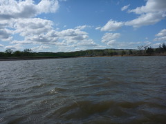
We fought wind until camp/unloading time. What do those clouds mean?
Wind. Plenty of it in certain stretches.
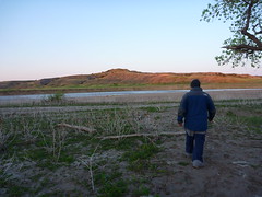
It was a good distance from boats to shelter/grass/trees.
I'll finish the story tomorrow ...
But obviously we made it back and it was fun. The first day was certainly something.
Subscribe to:
Posts (Atom)